


Local News
DNR Says, For Now, No Conclusive Evidence That Lakeside Park Is Filled Lake Bed.
The DNR issued a report Friday afternoon, saying there is no conclusive evidence indicating that Lakeside Park is a filled lake bed. The DNR had been asked to review a number of different historical sources in order to render a decision regarding the lighthouse peninsula and whether or not the site is adequate for the proposed multi-purpose building set to be constructed there.
In the decision, the DNR said “reviewing historical aerials, surveys/maps, dam records, current aerials, and reaching out to US Army Corps of Engineers, the Department determined that this not conclusive…”
The DNR also said the decision means the scope of work as proposed is not subject to permitting or any public interest use restrictions administered under Ch. 30 Wis. Stats.
The decision was also based on the fact that the DNR said work on the Fox River in the late 1800’s resulted in an artificially raised surface water elevation of Lake Winnebago, and it is unlikely that fill material was placed on public lakebed below the historic ordinary high-water mark as it existed prior to the creation of the existing raised lake conditions.
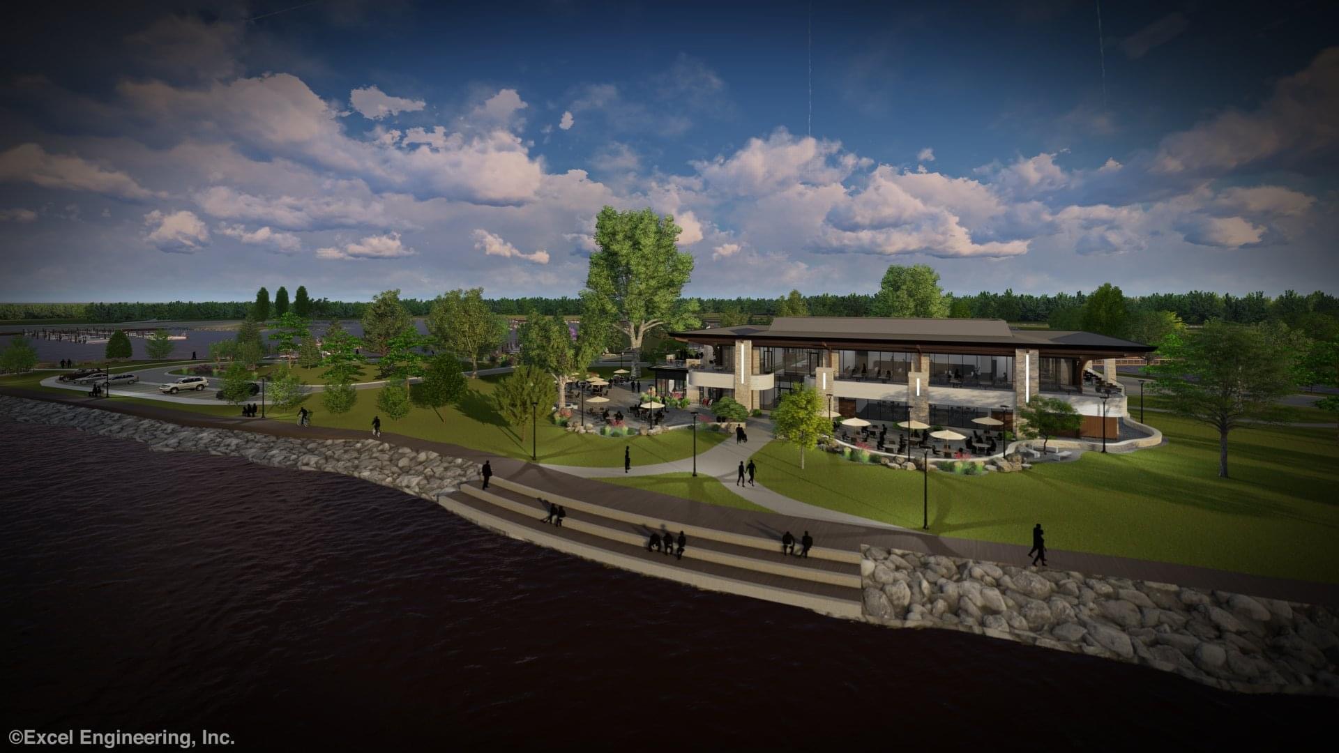
It would appear the DNR decision moves the construction of the multi-purpose building one step closer to reality. There is a City Council meeting set for Wednesday, 4/28, and Lakeside Park and the Alternative Master Plan will again be topics of discussion. The agenda posted for the meeting shows a request by City Manager Joe Moore for a closed session regarding the park and the future of the Alternative Master Plan. There will be 3 new members that begin their terms as council members Wednesday and all three campaigned together when it came to publicly voicing opposition to the location of the multi-purpose building. All three had hoped to bring the project to public referendum to get a final decision.
The bulk of the DNR response is as follows:
The impoundment of the Fox River in the late 1800s has resulted in an artificially raised surface water elevation of Lake Winnebago. Because of this, it is unlikely that fill material was placed on public lakebed below the historic ordinary high-water mark as it existed prior to the creation of the existing raised lake conditions. This finding is consistent with what can be observed using a map overlay that was preformed using an 1861 land survey document and current aerial photograph depicting roadways and existing shorelines. This overlay suggests the ordinary high-water mark in the late 1800s was located further waterward than where it exists today and is likely to be more closely representative of the “original” ordinary high-water mark prior to impoundment creation. When the dams were constructed/re-constructed at Neenah and Menasha in the late 1800’s and early 1900’s, the area of Lakeside Park, which was likely former wetlands prior to the impoundment of Lake Winnebago, was encroached upon as a result of creating the raised lake system.
Note that any work proposed below the existing ordinary high-water mark located along the shoreline of Lakeside Park is subject to Department permitting under Ch. 30 Wis. Stats.