


Local News
Flash Flood Watch Issued, Heavy Rain Expected Across the Region Today into Tonight
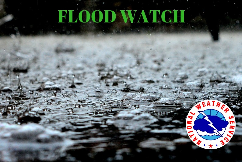
The National Weather Service is warning
those living in flood-prone areas to be ready to take action as numerous rounds
of showers and thunderstorms are expected across south-central Wisconsin today into
Wednesday. A slow moving cold front will be the focus for the rounds of showers
and storms, with the main event starting today and lasting into the evening. A
Flash Flood Watch has been issued for all of southern and south-central Wisconsin
and much of northeast Wisconsin through Wednesday morning for the heavy rain
threat. Forecasts call for anywhere from 2 to 4 inches of rain in the region,
with some locally higher amounts possible. Water levels are expected to rise on
rivers and streams, and some roads may become flooded and potentially hazardous
for travel.